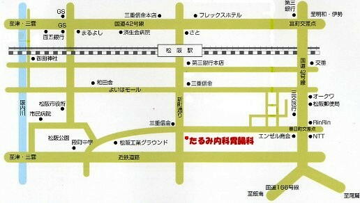
交通案内・地図
Traffic guide and map
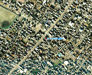
松阪市街のほぼ中央、駅前通りの新町5丁目、駅から真っ直ぐ徒歩で約15分、
4つ目の信号、新町交叉点をわたってすぐ左側です。車では伊勢自動車道の松阪インターから
ほぼ直線で約10分くらい、16個目の信号を右折してすぐ左側です。駐車場完備・・・医院裏にもあります!
It is on foot 15 minutes in the Matsusaka station to a straight line The 4th signal is exceeded and
it is immediately left-hand side! By car from the Matsusaka interchange the 16th signal is turned mostly
to the right about 10 minutes in a straight line and it is immediately left-hand side!
Parking lot full equipment!This hospital is a family doctor -- please visit the hospital freely!
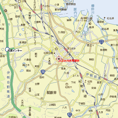
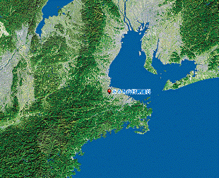
松阪市街全体地図 [Map of the entire Matsusaka City town]
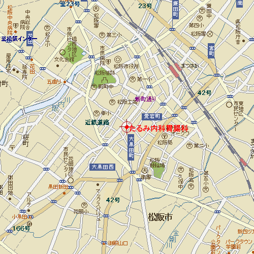
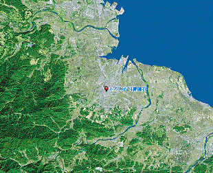
市内拡大地図 [City expansion map]
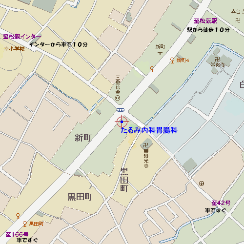
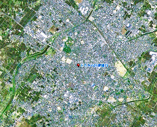
付近詳細地図 [Near detailed map]
航空写真から
     0598−21−0259 0598−21−0259

|
